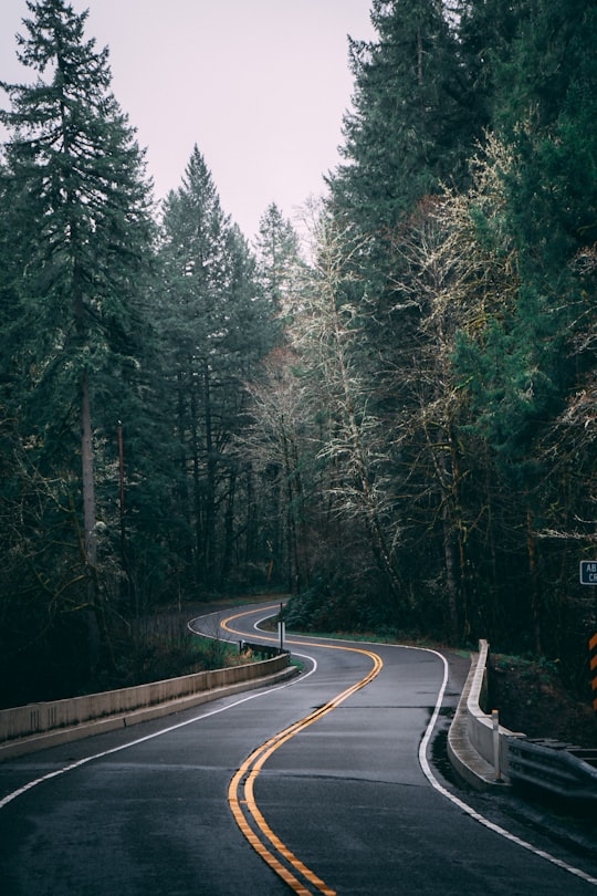
Travel Guide of Silverton in United States by Influencers and Travelers
The town of Silverton is a Statutory Town that is the county seat of, and the only incorporated municipality in, San Juan County, Colorado, United States.
The Best Things to Do and Visit in Silverton
TRAVELERS TOP 10 :
- Bridal Veil Falls
- Ophir
- Ice Climbing in Telluride
- Animas River
- Grand Mesa National Forest
- Telluride
- Uncompahgre Gorge
- Ouray
- Mount Sneffels Wilderness
- Electra Lake
1 - Bridal Veil Falls
15 km away
Bridal Veil Falls is a 365-foot waterfall at the end of the box canyon overlooking Telluride, Colorado. Hiking and off-road trails pass by the falls and it has a hydroelectric power plant at its top.
View on Google Maps Book this experience
2 - Ophir
16 km away
The historic mining town of Ophir is a Home Rule Municipality governed by a general assembly and is located in San Miguel County, Colorado, United States.
Learn more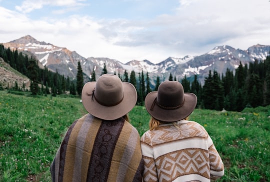
3 - Ice Climbing in Telluride
19 km away
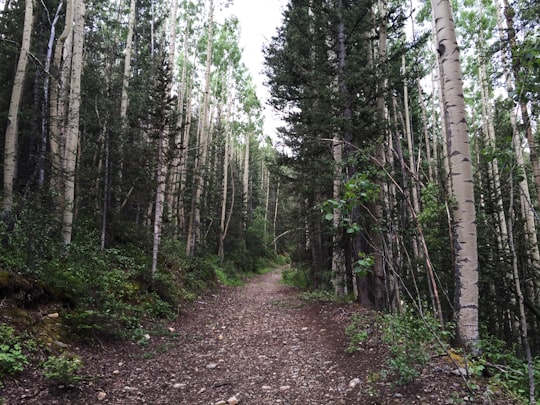
Join Mountain Trip's experienced guides for a half-day of ice climbing and instruction in the Telluride area. All technical gear, including ice tools, mountaineering boots, crampons, helmet and harness, are included in the cost.
Book this experience
4 - Animas River
17 km away
Animas River is a 126-mile-long river in the western United States, a tributary of the San Juan River, part of the Colorado River System. The Animas-La Plata Water Project was completed in 2015.
View on Google Maps Book this experience
5 - Grand Mesa National Forest
17 km away
The Grand Mesa National Forest is a U.S. National Forest in Mesa, Delta and Garfield Counties in Western Colorado. It borders the White River National Forest to the north and the Gunnison National Forest to the east.
Learn more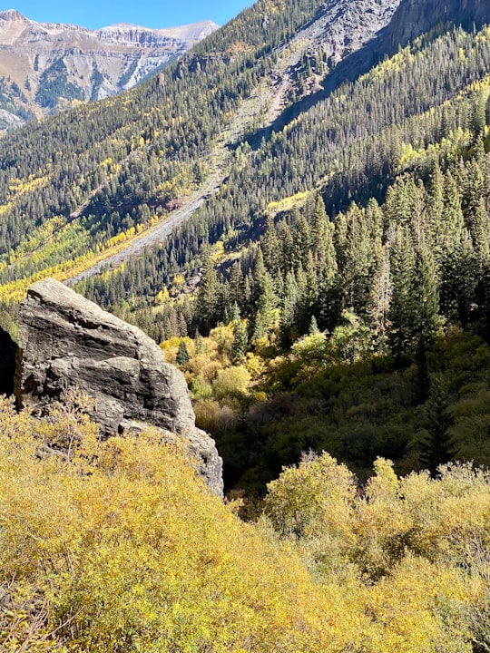
6 - Telluride
19 km away
Telluride is the county seat and most populous town of San Miguel County in the southwestern portion of the U.S. state of Colorado. The town is a former silver mining camp on the San Miguel River in the western San Juan Mountains.
Learn more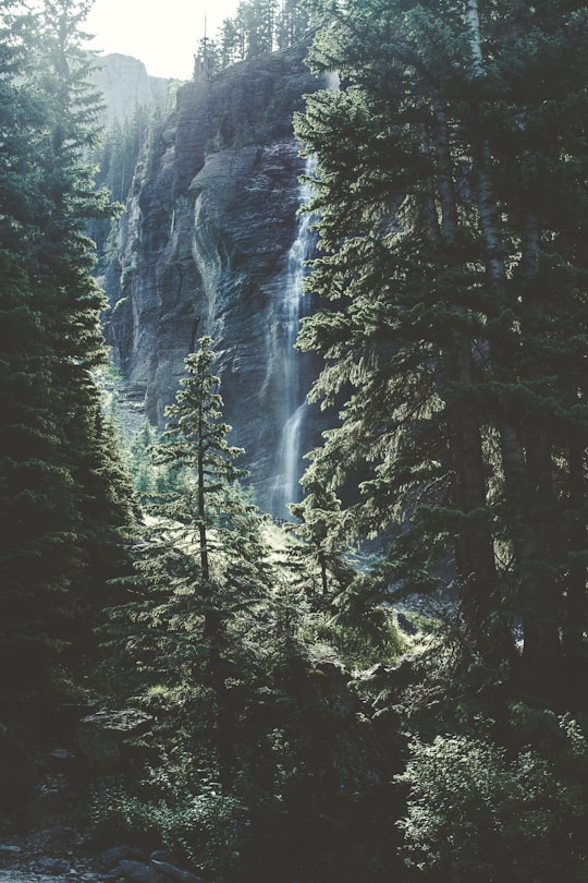
7 - Uncompahgre Gorge
24 km away
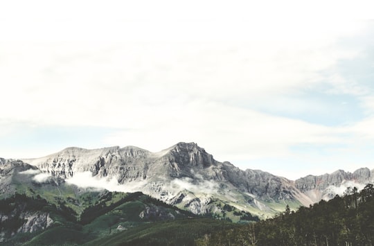
The Uncompahgre Gorge is a deep mountain canyon formed by the Uncompahgre River and Red Mountain Creek in the Uncompahgre National Forest. It is located just south of Ouray, in Ouray County, Colorado. At the north end of the Gorge the Uncompahgre River flows into a deep box canyon which is home to Ouray Ice Park. Access to the gorge is via U.S. Highway 550 along the Million Dollar Highway which is cut through the steep cliffs high above the river.
View on Google Maps Book this experience
8 - Ouray
24 km away
Ouray is a Home Rule Municipality that is the county seat and the most populous city of Ouray County, Colorado, United States. The city population was 1,000 as of the 2010 census. The Ouray Post Office has the ZIP code 81427.
Learn more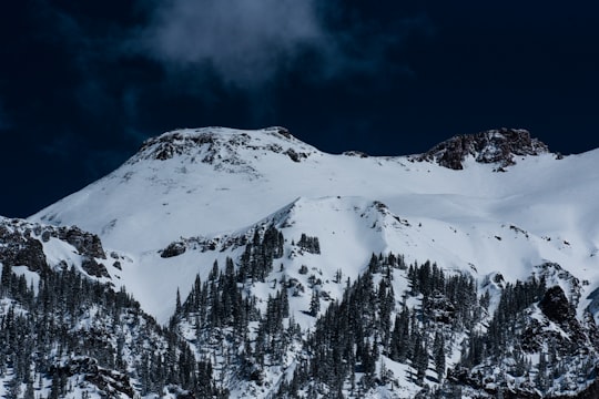
9 - Mount Sneffels Wilderness
28 km away
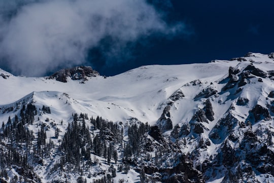
The Mount Sneffels Wilderness is a wilderness area in southwest Colorado managed by the Uncompahgre National Forest. It is about 5 miles west of the town of Ouray. The area is named for Mt. Sneffels, which at 14,150 feet is a prominent fourteener in the San Juan Mountains.
Learn more Book this experience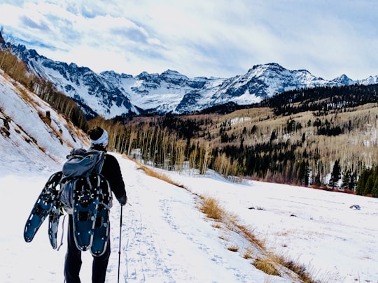

10 - Electra Lake
29 km away
Electra Lake is a privately owned reservoir in La Plata County Colorado. Owned by Xcel Energy, Electra Lake provides water storage for the Tacoma Hydro Generating Station. The reservoir's maximum capacity is 29,800 acre⋅ft.
Learn more Book this experience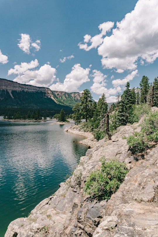

11 - San Juan National Forest
30 km away
The San Juan National Forest is a U.S. National Forest covering over 1,878,846 acres in western Colorado. The forest occupies land in Archuleta, Conejos, Dolores, Hinsdale, La Plata, Mineral, Montezuma, Rio Grande, San Miguel and San Juan Counties.
View on Google Maps Book this experience
Disover the best Instagram Spots around Silverton here
Book Tours and Activities in Silverton
Discover the best tours and activities around Silverton, United States and book your travel experience today with our booking partners
Pictures and Stories of Silverton from Influencers
3 pictures of Silverton from Morgan McDonald, Lucie Marchant, Nick Eubank and other travelers
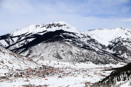
- Snapped from the Colorado mountains. ...click to read more
- Experienced by @Lucie Marchant | ©Unsplash

- Reaching for the unknown ...click to read more
- Experienced by @Morgan McDonald | ©Unsplash
Plan your trip in Silverton with AI 🤖 🗺
Roadtrips.ai is a AI powered trip planner that you can use to generate a customized trip itinerary for any destination in United States in just one clickJust write your activities preferences, budget and number of days travelling and our artificial intelligence will do the rest for you
👉 Use the AI Trip Planner
Why should you visit Silverton ?
Travel to Silverton if you like:
⛰️ Hill ❄️ Glacial landformWhere to Stay in Silverton
Discover the best hotels around Silverton, United States and book your stay today with our booking partner booking.com
More Travel spots to explore around Silverton
Click on the pictures to learn more about the places and to get directions
Discover more travel spots to explore around Silverton
⛰️ Hill spots ❄️ Glacial landform spots 🛣️ Road trip spotsTravel map of Silverton
Explore popular touristic places around Silverton
